Xu Xiake Studied China’s Karst Long Before It Had a Name
Archaeology & Sites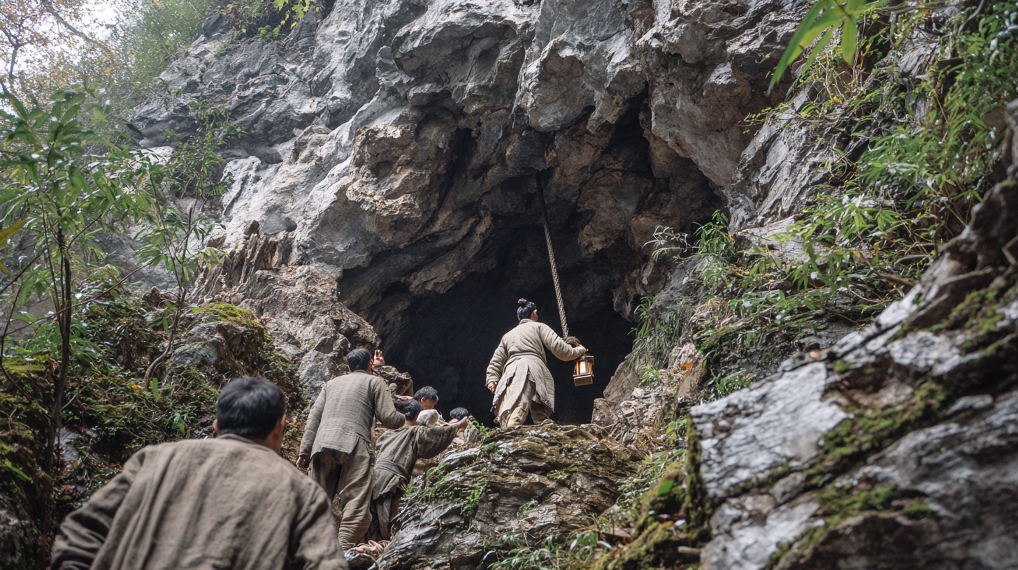
AI reconstruction, not a photograph.
Four centuries before scientists rappelled into a Guangxi sinkhole and found a forest growing at the bottom, a Ming dynasty traveler on foot was already mapping the same limestone country, cave by cave, without a name yet for what he was looking at or the equipment modern researchers would eventually use to reach it.
A Scholar Who Walked Into the Caves Himself
Xu Xiake was born in 1587 in Jiangyin, in what is now Jiangsu province, and spent most of his adult life traveling rather than sitting for the imperial examinations that defined a respectable career for a man of his class. Over roughly three decades, he covered ground across sixteen provinces of Ming China, often on foot, sometimes robbed or nearly starved along the way, recording what he saw in diaries that were only compiled and published after his death in 1641. He was not sent by the court and was not writing an official gazetteer for any patron. He traveled because he wanted to see the terrain for himself, and where local accounts disagreed with what he found on the ground, he trusted his own observation over inherited legend, correcting errors in existing local histories and offering plain physical explanations for phenomena that surrounding communities had treated as omens or superstitions.
Four Years Inside the Karst Country
The most demanding stretch of his travels came late in his life, a four-year expedition from 1636 to 1640 that took him through Zhejiang, Jiangxi, Hunan, Guangxi, Guizhou, and Yunnan, deep into the limestone terrain of China’s southwest. By the end of it, he had entered and described more than three hundred caves, over a hundred of them in the area around Guilin alone, in the same Guangxi region where a forested sinkhole made international headlines nearly four centuries later. He climbed down into passages with no official escort and no modern equipment, using ropes and whatever local guidance he could arrange, driven largely by his own determination to see what was actually inside the mountains he was walking past. He was already in his late forties by the time this expedition began, and he would not survive long after finally returning home, worn down by years of difficult travel through terrain that offered little in the way of comfort or safety.

Naming a Landscape Before It Had a Name
What Xu Xiake produced from those years was not a travel memoir in the modern sense. His diaries include sketch maps of individual caves, descriptions of underground streams and pools, and an attempt to classify the different kinds of limestone landforms he encountered in Guangxi, southern Guizhou, and Yunnan into broader categories and subtypes, sorting the region’s rocky mountains into distinct patterns based on their shape and the way they had visibly formed. Some of the descriptive terms he settled on for karst features are still used by Chinese geologists today, nearly four hundred years later. At the time, there was no established scientific vocabulary in China, or arguably anywhere else in the world, for organizing this kind of terrain into a coherent system. Xu Xiake was largely building one from scratch, one cave at a time, and modern historians of karst science have since credited him as the earliest person anywhere to attempt a systematic study of this kind of landscape.
Reading the Land Like a Scientist
What makes his diaries more than a curious historical record is the method behind them. Xu Xiake tested his own observations rather than simply recording impressions. Studying the underground rivers that run through this kind of limestone country, he worked out a relationship between how far water traveled underground and how fast it moved, and he paid close attention to how local topography, temperature, and wind affected the plants growing in and around these formations, the same kind of factor that today explains why an isolated sinkhole floor can support tree species uncommon just a short distance away on the open surface. He was not simply describing scenery. He was trying to understand why the terrain behaved the way it did, treating each cave and each collapsed chamber as a small experiment in how water, rock, and time interacted with one another, rather than as a fixed backdrop to describe once and move past.

A Word That Didn’t Exist Yet
The specific term for the deepest and most dramatic version of this terrain, the giant collapse sinkhole known in Chinese as a tiankeng, or “heavenly pit,” did not exist when Xu Xiake was alive. Geologists only proposed it formally in 2001, to describe collapsed dolines deeper than one hundred metres, a category that includes the roughly 197-metre sinkhole recently documented in Guangxi with an isolated forest growing at its base. Xu Xiake had no single word for a pit of that particular scale and shape, and there is no record of him describing that exact kind of feature by name. But the caves, collapsed chambers, and depressions he spent four years mapping across this same terrain were built from the same slow dissolution of limestone that produces a tiankeng, water working through cracks in the bedrock over vast stretches of time until a chamber’s roof could no longer hold its own weight, and his classification of karst morphology was an early attempt to make sense of a landscape that keeps producing discoveries like it centuries later. The geological process he was already trying to explain in the 1630s is the same one a modern institute now names and measures with satellite data and laser scanning.
Same Ground, Different Century
The scientists who descended into Guangxi’s sinkhole in recent years used climbing ropes, GPS mapping, and specialized survey equipment that Xu Xiake could not have imagined. What they were doing, in a narrower sense, was not entirely new. They were walking into the same limestone country he had already spent four years of his life exploring on foot, in a period when the science of karst had no name, no institute, and no formal vocabulary beyond whatever a single traveler could invent for it as he went. His travel diaries remain one of the earliest sustained attempts anywhere in the world to describe this kind of terrain as something that could be studied, rather than simply feared or mythologized, and the isolated forests still turning up at the bottom of Guangxi’s deepest pits are, in a real sense, still being found in the country he mapped first, described in his own words centuries before anyone thought to give that country’s most dramatic feature a name of its own.

